Geocadastre | geological surveys

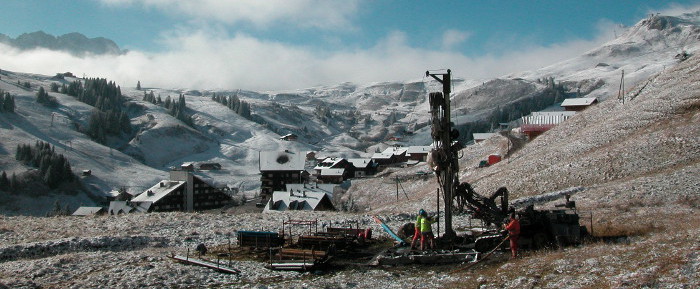
Le cadastre cantonal des sondages géologiques – a web portal for consulting and editing subsoil data for the Canton of Valais Launched at the end of 2013, Géocadastre – the cantonal geological survey cadastre – has gradually established itself as a reference tool for practitioners. The Geocadast web portal not only enables consultation of subsurface data, but also provides information on the cantonal cadastre. The quaternary data contained in the Geocadastre are… Read More
Support for groundwater protection zones

Support for the SEN in the approval procedure for groundwater protection zones to guarantee the quality of our drinking water In the Valais, drinking water is almost entirely supplied by groundwater reserves. It is therefore essential to ensure the quality of the water we consume. In order to guarantee the long-term protection of the groundwater that feeds the public interest catchments (springs and wells) used to supply the population with drinking water,… Read More
Operational flood forecasting system

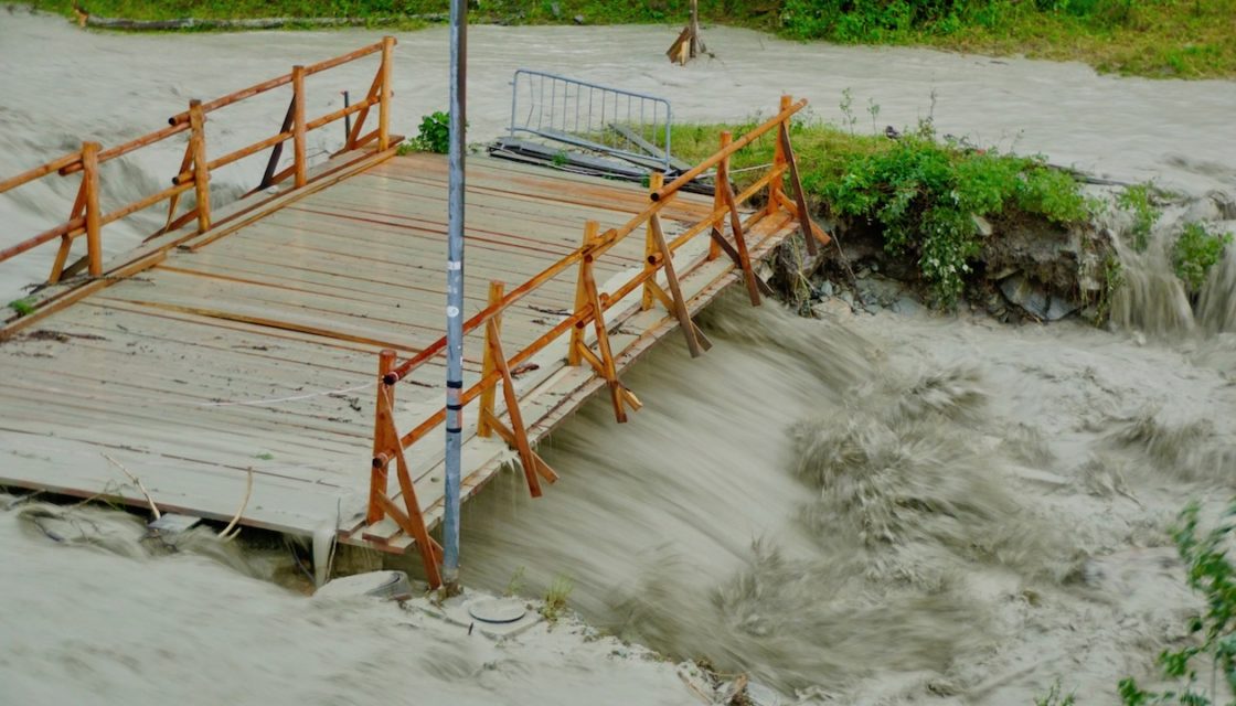
MINERVE: Operational flood forecasting and management system for the Canton of Valais Following the devastating flood of October 2000, the Canton of Valais entrusted CREALP with the development and implementation of a Rhône flood forecasting and management system: the MINERVE system (Modélisation des Intempéries de Nature Extrême du Rhône Valaisan et de leurs Effets). The system has been operational since 2013, and CREALP is responsible for its management and maintenance on behalf… Read More
Groundwater monitoring

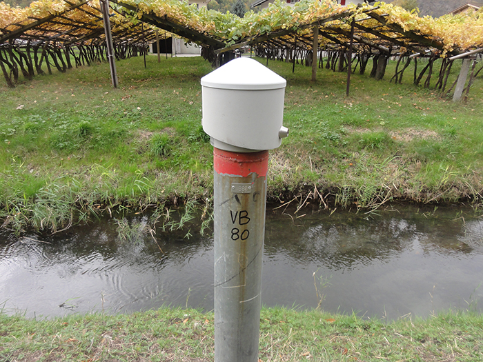
Monitoring groundwater in the Rhône plain and mountain aquifers In Switzerland, groundwater and springs cover more than 80% of water needs. With an annual production of over 1 millionm3, they are the main source of drinking and industrial water. Long-term monitoring of groundwater quality and groundwater levels is therefore of particular importance. This is all the more the case in Valais where, due to the specific nature of the recharge regime for… Read More
