
Groundwater monitoring
Monitoring groundwater in the Rhône plain and mountain aquifers
In Switzerland, groundwater and springs cover more than 80% of water needs. With an annual production of over 1 millionm3, they are the main source of drinking and industrial water. Long-term monitoring of groundwater quality and groundwater levels is therefore of particular importance. This is all the more the case in Valais where, due to the specific nature of the recharge regime for aquifers that are predominantly glacial or nivo-glacial in nature, assessing the impact of climate change on the evolution of water reserves constituted by glaciers, as well as on precipitation, is a major challenge in the context of a policy of sustainable development and protection of drinking water resources. Currently, over 3,000 springs and wells have been inventoried in Valais. Water points used to supply drinking water are regularly monitored for quality and quantity.
THE RHÔNE PLAIN WATER TABLE
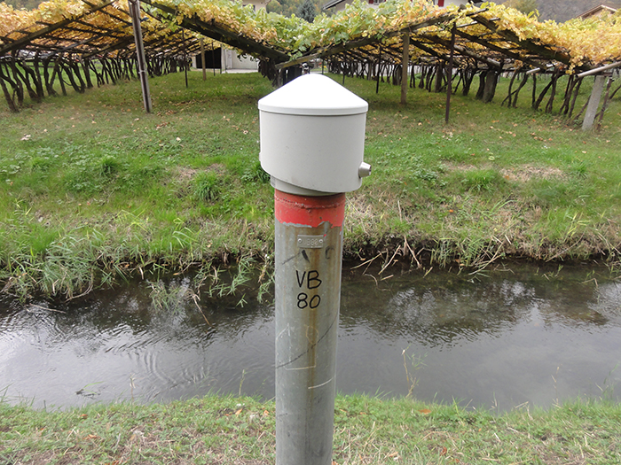
CREALP has been monitoring the alluvial groundwater of the Rhône plain in the Canton of Valais since 1994. This monitoring is currently carried out at some 230 observation sites equipped with automated measuring stations. Some of these observation sites were already equipped by the Canton of Valais as early as 1976, and have gradually been fitted with more and more modern measuring stations, some of which are able to measure the electrical conductivity of the water, in addition to level and temperature, and to transmit data remotely.
The observation sites are divided into two networks: the cantonal monitoring network for the Rhone plain, currently comprising around 130 measuring stations located between Oberwald and Lake Geneva, and the monitoring network for the Rhone3rd correction project, comprising around 100 stations dedicated specifically to the needs of the project. CREALP is responsible for monitoring and maintaining these two networks, collecting, processing and validating data, and publishing them on the Hydro web portal.

MOUNTAIN AQUIFERS
As part of an integrated approach to water resource management, the Canton of Valais, under the impetus of the Environment Department(SEN), decided a few years ago to extend groundwater monitoring to mountain aquifers. The cantonal “Sources” network currently comprises 5 springs representing a variety of hydrogeological environments (karstic and fissured aquifers): La Lé (Cne de Grône), Le Brocard (Cne de Martigny), La Vouette (Cne de Dorénaz), Pierrier de Visse (Cne de Savièse), and Brunnstube (Cne de Baltschieder). These springs have been monitored continuously since 2010. The observations collected (flow rate, temperature, electrical conductivity) should enable us to characterize their hydrogeological environment as well as their reservoir conditions (hydrological regime, type of reservoir, aquifer recharge conditions, supply factors, volume of reserves, etc.).
Long-term monitoring of these aquifers, in particular by defining and calculating indicators (e.g. resistance to drought), should enable us to assess and anticipate the effects of short, medium and long-term climatic constraints on the renewal of groundwater resources (e.g. reduction in the glacial component in the recharge of certain springs, rise in average snowfall altitude, gradual change in precipitation patterns, etc.). On behalf of the cantonal government, CREALP manages the “Sources” network. This includes regular checks and maintenance of the measuring stations, as well as the archiving of observation data in the REGIS cantonal hydrogeological database. As part of its mandate, CREALP also provides scientific and technical support to the Federal Office for the Environment(FOEN) for the management of the Sources-Valais stations integrated into the NAQUA-QUANT national groundwater observation network.
Information
Project manager:
Project duration: 1994 – ongoing
Project sponsor: Service de l’environnement(SEN) du Canton du Valais