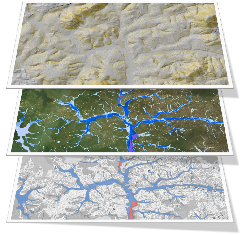
Flood hazard maps (Cameroon)
Flood hazard mapping for cities in Cameroon
CREALP took part in the “Building Capacity for Resilient Urban Development and Integrating Climate and Disaster Risk Considerations into Urban Planning” project managed by the World Bank. The aim of the project was to contribute to increasing the resilience of Cameroon’s cities to the risk of flooding by drawing up hazard maps to enable better planning of urban development, taking into account the risks to the population.
Based on Swiss recommendations in this field, a compilation and processing of geographical data, as well as hydrodynamic modelling, were used to delimit flood hazard zones for the cities of Yaoundé, Douala and Ngaoundéré.
In addition, to build the capacity of academics, professionals and government institutions, CREALP organized training courses on flood risk modeling and governance in the urban context, combining face-to-face and distance learning formats. These courses aimed to improve climate change and risk resilience in urban planning and development projects.

Information
Contact: Dr Theo Baracchini
Project duration: 2019 – 2021
Project leaders:
- African Caribbean Pacific Natural Disaster Risk Reduction Program(ACP-UE NDRR)
- Global Facility for Disaster Risk Reduction(GFDRR)
- World Bank

