
Spatial Reference Information System | Floods
A Spatially Referenced Information System for managing hydrological hazards in the canton of Valais
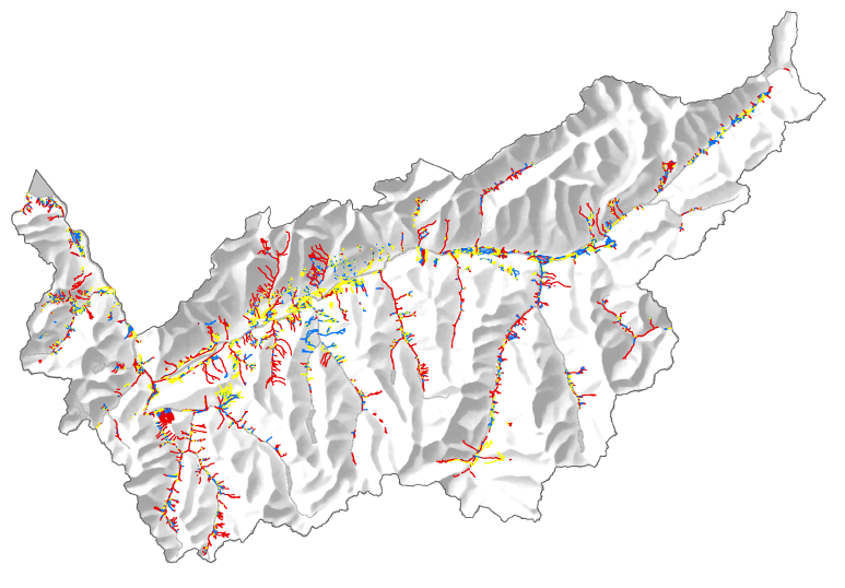
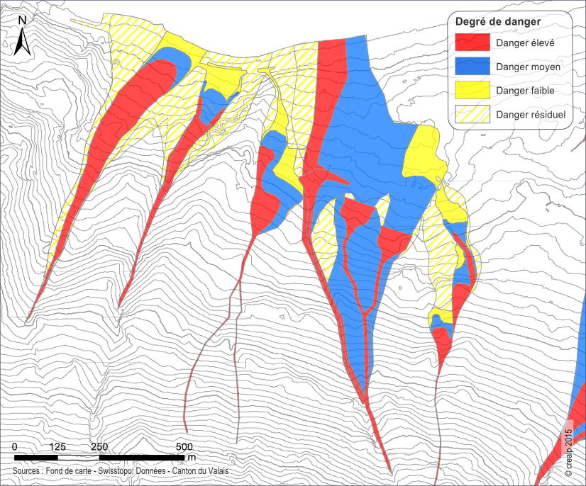
SIRS-CRUES is one of a series of spatially referenced information systems (SIRS) set up by the canton of Valais to optimize the use and enhancement of information contained in natural hazard studies (avalanches, floods, ground instabilities). SIRS-CRUES records information relating to hydrological hazards.
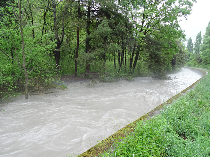
Developed on the initiative of the Natural Hazards Service(SDANA) and with the collaboration of the Geomatics Competence Centre(CCGeo) and CREALP, SIRS-CRUES enables the collection, enhancement and use of data from studies related to hydrological hazards. Flood-related hazards arise in particular from the processes of flooding, debris flow overflow, and bank and riverbed erosion.
SIRS-CRUES is a reference tool for cantonal managers of natural hazards and land-use planning.

In addition to updating SIRS-CRUES in line with new hydrological hazard map studies validated by SDANA, CREALP is responsible for coordinating with CCGeo the updating of these data within the cantonal geomatic infrastructure. It collaborates with the cantonal authorities and specialized design offices for data exchange.
SIRS-CRUES data is available online on the cantonal geoportal.
Information
Project manager:

THIERRY NENDAZ
Collaborateur scientifique en hydrogéologie
Project duration: 2012 – ongoing
Project initiators: Service des dangers naturels(SDANA) of the Canton of Valais