
ToolMap
Modelling, vectorization and export of geological information in GIS format
Presentation
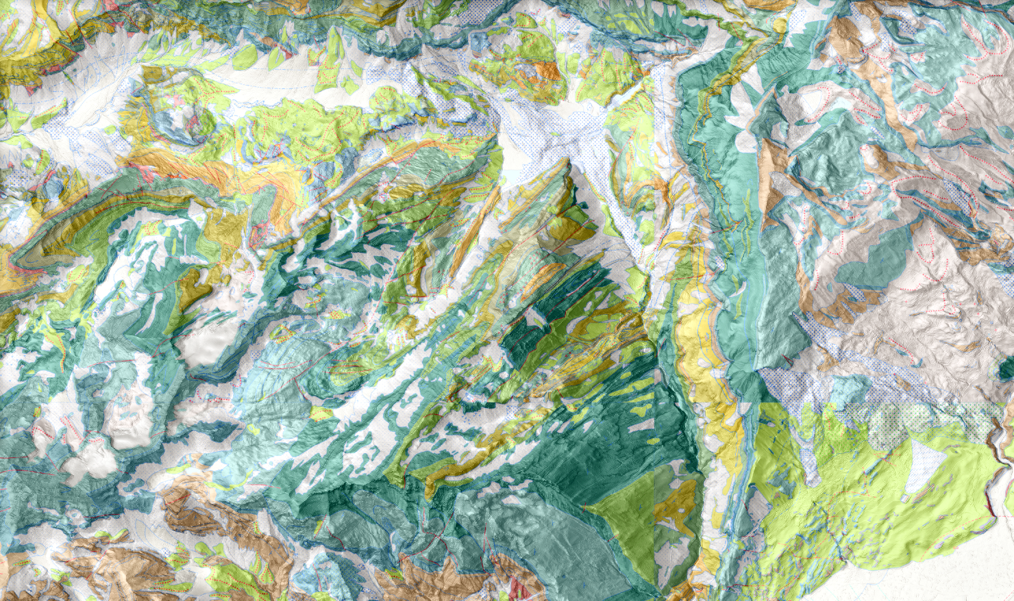
ToolMap is a software for modelling, vectorizing and exporting information in GIS form. It is designed to support the practitioner in the various phases of creating a complex GIS. It was originally developed to facilitate the vectorization of geological maps, but its scope of application is much wider. For example, it can be a valuable tool for the creation of natural hazard maps or the definition of water protection areas.
ToolMap is originally the software counterpart to the SION method. Together they form an innovative approach to geological mapping. The SION method regulates the vectorization of all lines or points that originate from the geological terrain survey. These geometric objects are then given single or multiple attributes that allow them to be categorized into different themes. The overlay of these themes finally forms the geological map.
The special feature of ToolMap is that, unlike other GIS programs that offer layer editing based on three geometry types (point, line and polygon), it reduces this selection to the first two and thus drastically simplifies the vectorization work. Polygon layers are only created after editing is complete. This approach avoids many vectorization errors (duplicates, overlaps or gaps between adjacent polygon boundaries, etc.) and ensures the topological and semantic consistency of the spatial database.
Main functions
Modeling of geological information
- Development of a spatial model containing the different layers of the future GIS and the type of information they will contain.
- Creation of an attribute model that defines each of the specified topics and their possible additional attributes.
Vectorization and assignment of objects
- Vectorization of all areal, linear and point data in a “construction” layer
- Single or multiple assignment of linear and point objects
Validation and export of the cartographic project
- Visual verification of object assignment through automatically defined or user-added queries
- Detection of topological errors with the help of a suitable tool
- Automatic generation of polygons and export of all layers in shapefile format
Information on
Project Manager :
Downloads and support
Software
ToolMap was acquired by the company Teranum.
Documentation
User manual (English)