
PhD: Real-time data assimilation for flood forecasting
Real-time data assimilation for hydrological modeling and flood forecasting in managed Alpine catch ments (Alain Foehn thesis)
The research project “Real-time data assimilation for hydrological modelling and flood forecasting in equipped alpine catchments” is part of the MINERVE cantonal system for flood forecasting and management in Valais. This thesis project is supervised by EPFL’s Laboratoire de Constructions Hydrauliques(LCH) and funded by CREALP. Also conducted in partnership with the Canton of Valais, MétéoSuissse, HydroCosmos and the Universitat Politècnica de València(UPV), it aims to improve the performance of hydrological forecasts in the Alpine environment.
Implementation of the MINERVE system has identified a number of potential improvements, particularly in terms of precipitation spatialization, hydrological model calibration and real-time data assimilation. The aim of this thesis project, referred to here as MINERVE D3 (D=data, 3=3rd cycle of the MINERVE project), is precisely to address these challenges.
During 2015, various methods for spatializing ground precipitation data were explored in the literature. These methods aim to estimate as accurately as possible the amount of precipitation over the entire territory. The geostatistical kriging method was chosen for the development of a spatialization methodology, combining ground station data with weather radar data. In 2016(1st phase of the project), such a spatialization method was developed for the territory of the Canton of Valais.
The performance of any hydrological model is above all dependent on its parameterization, and considering new data sources helps to improve this. The modeling of snowmelt processes in the GSM-SOCONT model, used in the RS MINERVE tool, is based on a parameter linking melt rate to temperature. In 2017(2nd phase of the project), a method aimed at optimizing the calibration of this parameter was developed, using snow height data measured on the ground, satellite estimates of snow cover(MODIS), and a snow water equivalent product (developed by the SLF). All parameters are then calibrated and the hydrological model refined.

Once the model has been calibrated, real-time observed data, such as flow and snow height measurements, are integrated into the forecasting system(3rd phase of the project). This optimizes the model’s state variables, which are used as initial conditions for calculating the hydrological forecast. During this phase, various data assimilation methods were explored, with the aim of finally defining the optimum method to be used.
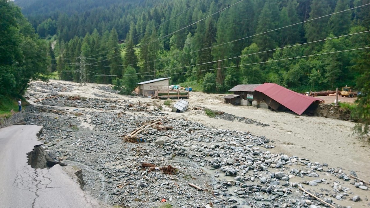
This research project has considerably reduced uncertainties and improved the reliability of hydrological forecasts.
Information
Doctoral thesis by : Dr Alain Foehn
Duration: 2015 – 2020
Further information

Foehn, A., García Hernández, J., Alesina, S., Schleiss, A., & Fluixá Sanmartín, J. (2016). Los desafíos de la modelización hidrológica y la previsión de crecidas en tiempo real en alta montaña. In XXVII Congreso Latinoamericano de Hidráulica-LADHI (No. CONF).
Foehn, A., De Cesare, G., Schleiss, A., Garcia Hernàndez, J., & Schaefli, B. (2016). Spatialization of precipitation data for flood forecasting applied to the Upper Rhone river basin (No. CONF).
Foehn, A., García Hernández, J., Schaefli, B., & De Cesare, G. (2018). Spatial interpolation of precipitation from multiple rain gauge networks and weather radar data for operational applications in Alpine catchments. Journal of Hydrology, 563, 1092-1110.
García Hernández, J. (2011). Flood management in a complex river basin with a real-time decision support system based on hydrological forecasts [EPFL-LCH].
Jordan, F. (2007). Flood forecasting and management model-optimization of hydroelectric storage scheme operations for flood flow reduction [EPFL-LCH].
Schaefli, B., Hingray, B., Niggli, M., & Musy, A. (2005). A conceptual glacio-hydrological model for high mountainous catchments. Hydrology and Earth System Sciences, 9(1/2), 95-109.
Tobin, C. C. (2012). Improving Alpine Flood Prediction through Hydrological Process Characterization and Uncertainty Analysis [Citeseer].