
Geocadastre | geological surveys
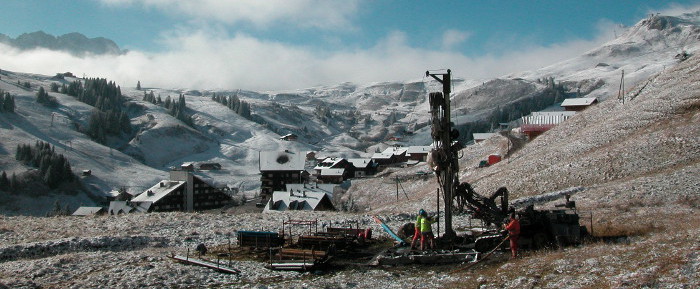
Le cadastre cantonal des sondages géologiques – a web portal for consulting and editing subsoil data for the Canton of Valais Launched at the end of 2013, Géocadastre – the cantonal geological survey cadastre – has gradually established itself as a reference tool for practitioners. The Geocadast web portal not only enables consultation of subsurface data, but also provides information on the cantonal cadastre. The quaternary data contained in the Geocadastre are… Read More
Numerical hydrogeological models

Numerical hydrogeological models for the third Rhone correction CREALP supports the project managers of the Third Rhone Correction project in analyzing the modeling work carried out by the engineering groups in charge of developing the anticipated and priority measures. The aim is to ensure the best possible quality of prognoses and associated uncertainties, through the use of scientific methods and robust working hypotheses; the model results form the basis for assessing the… Read More
DEEP CITY Verbier
Understanding water resources for better management CREALP is involved in applying the Deep City method (Parriaux et al. 2010) to the Verbier region on behalf of the Val de Bagnes municipality. This method was developed based on the observation that, on a commune scale, underground space is limited and a source of both conflicts (of use) and synergies (geomaterials). This approach aims to popularize and map complex geological complexes in order to… Read More
Rocks and quarries in Valais

An in-depth review of the geological, technical, historical and socio-economic aspects of quarries operating in the Valais over the past three centuries. Noting the rapid disappearance of quarrying archives in Valais, geologists and researchers Daniel A. Kissling, Michel F. Delaloye and Hans-Rudolf Pfeiffer decided to safeguard this heritage by recovering this information before it was too late, and making it accessible to the public. As a result of their work, over 570… Read More
Quaternary deposits
Exploiting and developing quaternary data from the Rhône Valley – Multiple challenges 90% of Switzerland’s land use takes place in the near subsoil, the site of Quaternary deposits. Consisting mainly of loose rock, these soils provide a variety of raw materials (water, mineral raw materials, geothermal energy). Their geological nature also determines certain soil properties that are important for the exploitation of natural resources (hydrogeology, geothermal energy), for the construction of structures,… Read More